- Exterior & Landscape
-
Building & Construction
- Concrete Contractors
- Demolition
- Blocks & Concrete Products
- Structural Engineer
- Road Contractors
- Pre - Engineered Buildings
- Steels & Metals Construction
- Scaffolding
- Soil Test
- Generator
- Heavy Equipments
- Junk Removals
- Waterproofing
- General Contractors
- Pre - Fabricated House
- Portable Containers
- Excavation
- Foundation
- Steel & Metal Fabrication
- Drainage System
- Airport Construction
- Home Maintenance
- Consulting
- Audio Visual System & IT
- Floorings & Wall
- Others
- Furniture
-
Building & Renovation
- Stone & Marble
- Wooden Products
- Gypsum Products
- Building Material Suppliers
- Paint
- Lift & Escalators
- Kitchen & Bathroom
- Fit - Out Contractors
- Specialist Contractors
- Glass
- Kitchen & Bathroom Accessories
- Wall & Wall System Product
- Electrical Contractor
- Mechanical
- Gypsum Work
- Window Suppliers
- Turn Key Contractors
- Door Suppliers
- Ironmongery
- Fire Fighting Contractors
- Building Maintenance
- Permits & Authority Approvals
- Carpentry and Joinery
- Roofing System
- Aluminum
- Lighting
- Railings
- Metal Supplier & Contractor
- Manpower
- Home Solar System
- Design & Decoration
- Events & Exhibitions
- Marine
- About
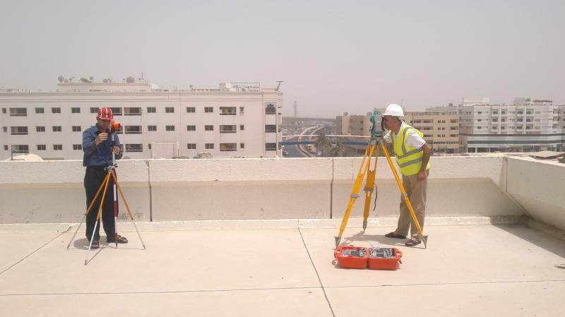
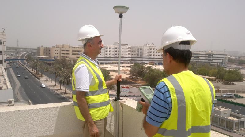
Geoimage is composed of Geoimage Geographical Maps (GIGM), established in Dubai in January 2007, and Geoimage Survey, established in Dubai in August 2010. Geoimage is specialized in providing consultancy services in Geospatial Data generation, processing and analysis, Digital Mapping, Geographic Information Systems (GIS) and Real Estate Survey Services.
Geoimage teams with high-technology companies and consultancy establishments from Europe, North America and the Middle East to put into service various Geospatial Information technologies and products.
Geoimage is an authorized distributor of GeoEye high resolution imagery, inclusive of GeoEye-1 and IKONOS. In 2009, Geoimage supplied GeoEye-1 imagery covering Sixty Thousand (60,000) km² over Oman built-up areas to Oman Ministry of National Economy.
