- Exterior & Landscape
-
Building & Construction
- Concrete Contractors
- Demolition
- Blocks & Concrete Products
- Structural Engineer
- Road Contractors
- Pre - Engineered Buildings
- Steels & Metals Construction
- Scaffolding
- Soil Test
- Generator
- Heavy Equipments
- Junk Removals
- Waterproofing
- General Contractors
- Pre - Fabricated House
- Portable Containers
- Excavation
- Foundation
- Steel & Metal Fabrication
- Drainage System
- Airport Construction
- Home Maintenance
- Consulting
- Audio Visual System & IT
- Floorings & Wall
- Others
- Furniture
-
Building & Renovation
- Stone & Marble
- Wooden Products
- Gypsum Products
- Building Material Suppliers
- Paint
- Lift & Escalators
- Kitchen & Bathroom
- Fit - Out Contractors
- Specialist Contractors
- Glass
- Kitchen & Bathroom Accessories
- Wall & Wall System Product
- Electrical Contractor
- Mechanical
- Gypsum Work
- Window Suppliers
- Turn Key Contractors
- Door Suppliers
- Ironmongery
- Fire Fighting Contractors
- Building Maintenance
- Permits & Authority Approvals
- Carpentry and Joinery
- Roofing System
- Aluminum
- Lighting
- Railings
- Metal Supplier & Contractor
- Manpower
- Home Solar System
- Design & Decoration
- Events & Exhibitions
- Marine
Office 408, Warba Center, Abu Baker Al Siddique Ro...
- About
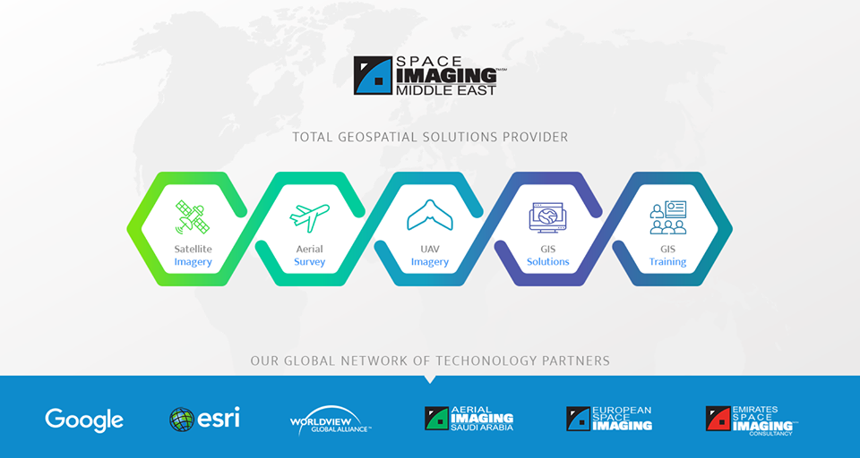
Space Imaging Middle East (SIME) is a total GIS solutions provider integrating all the elements related to the satellite and aerial imagery value chain.
Space Imaging Middle East (SIME) is a total solutions provider that integrates all the elements related to the satellite and aerial imagery value chain. The Company was founded in 1997, and is headquartered in the United Arab Emirates.
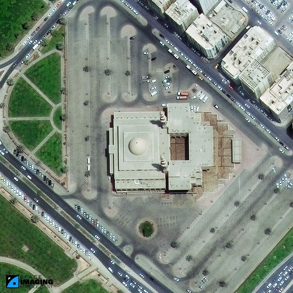
With access to the largest satellite constellation in the world and its own aerial survey fleet stationed in the region, SIME offers a full spectrum of products and services from imagery collection to complete processing.SIME’s in-house GIS Professional Services Department provides clients with a complete suite of professional services and products that meet all their geospatial requirements.


